Experience Calmar
Calmar GIS Mapping Tool
What is a GIS system? It means a Geographical Information System.
What can you search through our GIS mapping tool:
- Search for a property through the civic address showing on the GIS map;
- View property, zoning, and tax assessment information;
- View the town of Calmar’s aerial photography;
- View and identify details within the municipal boundaries of the town of Calmar;
- Prepare and print custom maps.
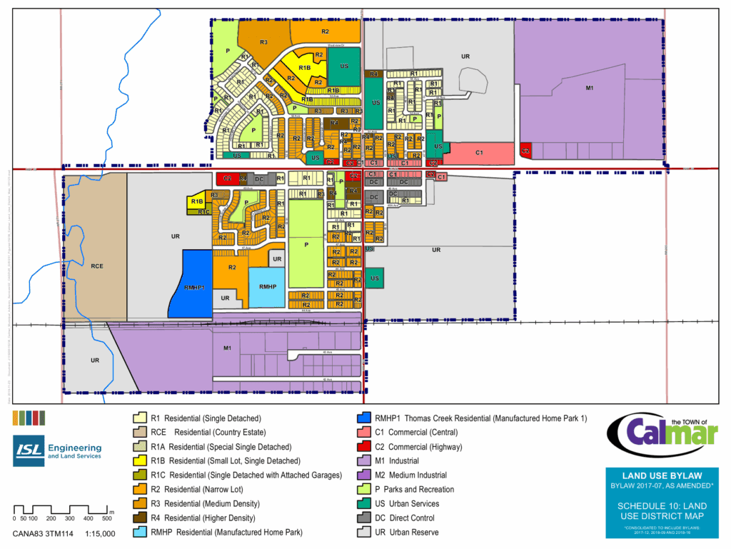
Land Use Map
Area Map

The Calmar Chronicle has gone digital!
Please subscribe today for up to date community news: